The participatory rural appraisal (PRA) was done in Kenya in 2013, in the area of Baringo Lake, on behalf of the consulting firm ELIANTE, WWF Italy and the Italian NGO MANITESE. I carried on the mission as part of a development cooperation project, in the frame of the Italian de-centralized cooperation.
The main goal was conducting an assessment of the natural resources together with the communities, with the double target of a conservation action and of a way to generate income through community-based tourism.
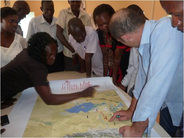
The work started with the involvement of local authorities, considered both a key facilitating informant and an actor to be kept informed. It was divided into two main areas.
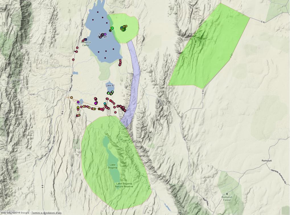
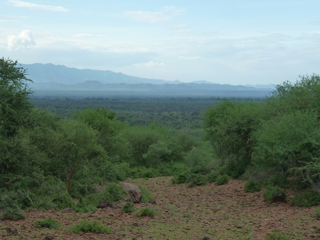
The main output was the identification of a key wildlife corridor on the elevated areas close to the Baringo plains, connecting a trilateral system composed of a national park, a community-managed area and a private farm.
Field-collected data suggested a pattern coherent with the participatory data collection. The work was well identified, trough valuing community experience, and ecological dynamics at a large scale in the area
The main goal was conducting an assessment of the natural resources together with the communities, with the double target of a conservation action and of a way to generate income through community-based tourism.
The work started with the involvement of local authorities, considered both a key facilitating informant and an actor to be kept informed. It was divided into two main areas.
- The first period was committed to training the community and raising awareness for nature conservation and the values of biodiversity, considered the capital of an ecosystem and necessary to create resilience and a direct economic source. After a capacity-building phase, the work developed a participatory data collection (biodiversity mapping at the village level).
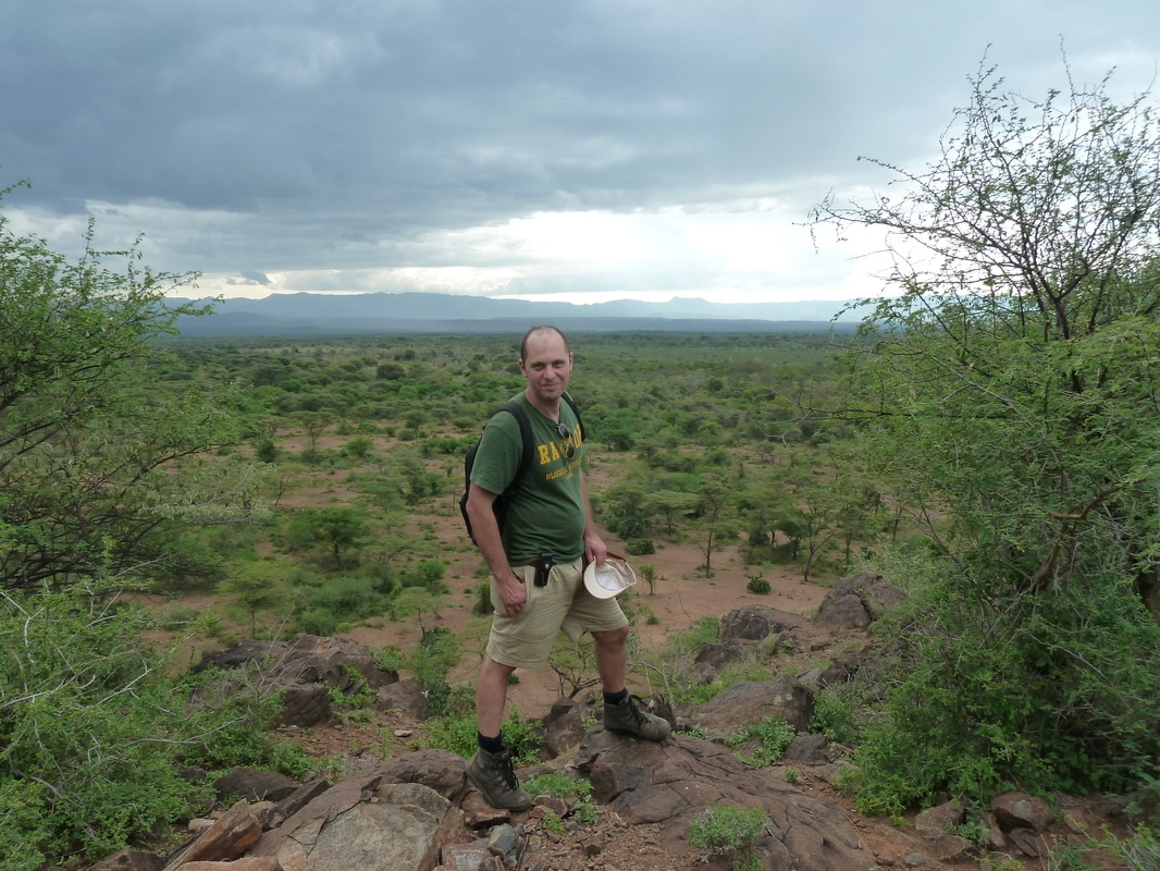
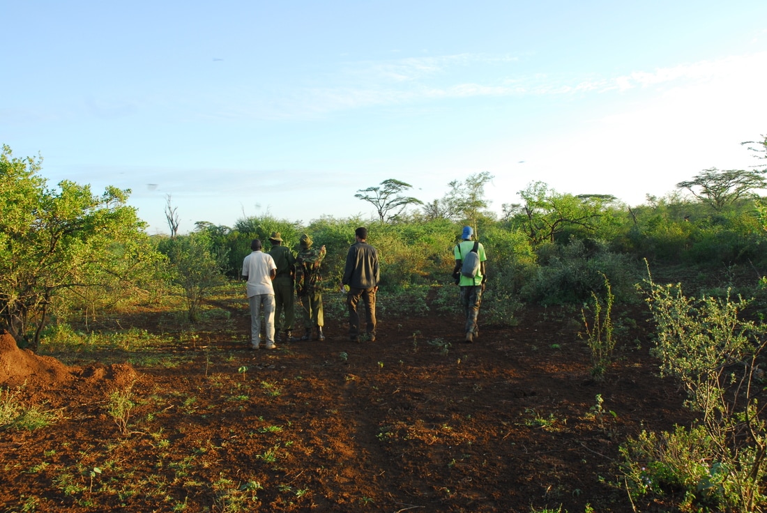
- Some fieldwork, mainly based on long walks in the bush, under the expert guidance of community leaders provided the data collection with a check on reliability. Some photo-traps were posed on the ground, to detect wildlife signs. Being the area largely unprotected, large mammals were mainly used as an indicator of wilderness at a medium scale (40X20 Km), because more recognizable by hunters, because very sensitive to the level of anthropization and because of their potential importance for developing tourism.
The main output was the identification of a key wildlife corridor on the elevated areas close to the Baringo plains, connecting a trilateral system composed of a national park, a community-managed area and a private farm.
Field-collected data suggested a pattern coherent with the participatory data collection. The work was well identified, trough valuing community experience, and ecological dynamics at a large scale in the area