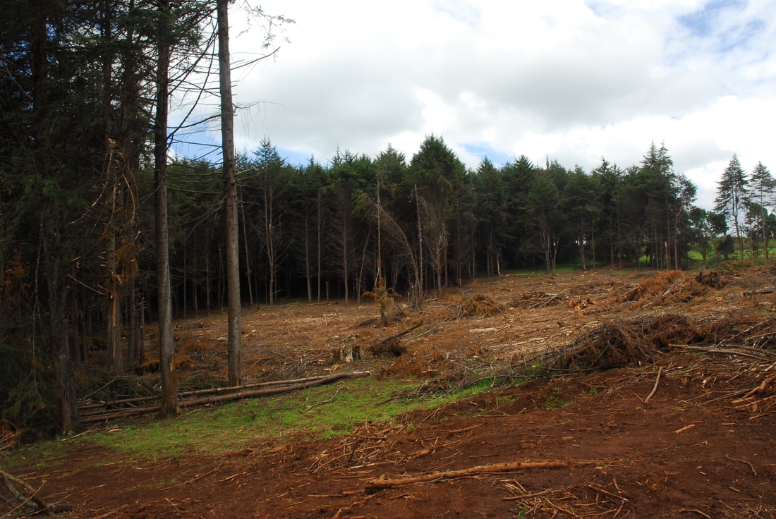
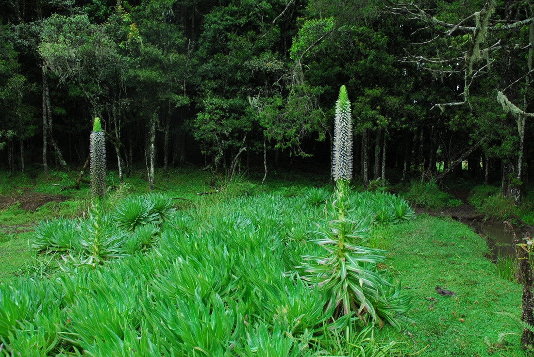
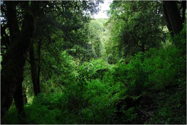
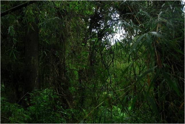
The Mau Forest Complex is one of the five “water towers” in Kenya, being as well the largest forest block in the country, and the largest single block of closed-canopy forest in Eastern Africa. Although its biological importance, large tracks of forest were cleared and recently severe encroachments have taken place also inside the forest boundaries, this leading to a dramatic loss of forest cover, and to the destruction of large forest ecosystems (UNEP and KFS, 2005).
OgIek communities, the traditional inhabitants, have suffered a sad story of abuse and displacement. The forest have been taken from its natural users and have been cleared to host some exotic plantations for legal logging, creating a patched system where the pristine forest appears together with areas exotic coniferous forest. Although this, It is still a forest of incredible beauty and importance.
In 2014 the NGOs WWF Italy and MANITESE, in the frame of Italian development cooperation funding, developed a project to assess the quality of the ecosystem, with the double aim of protecting local natural resources and developing a sustainable tourism as a source of income.
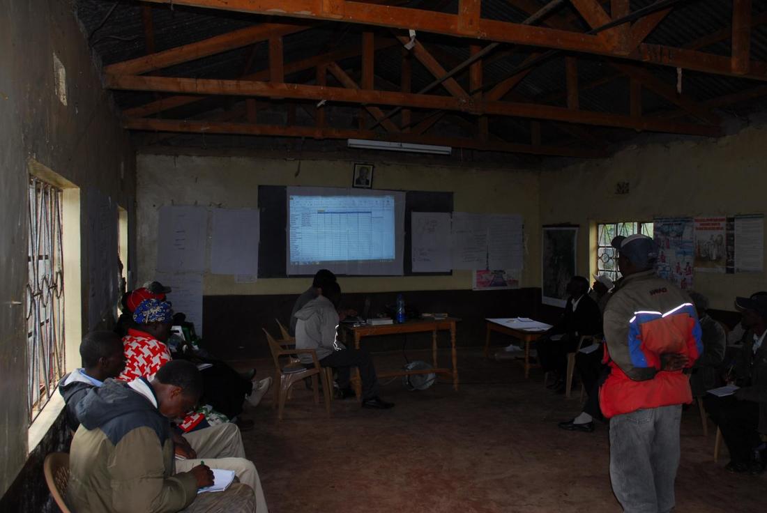
I mixed a participatory mapping, ground truthing field-work, and a landscape-analytical approach.
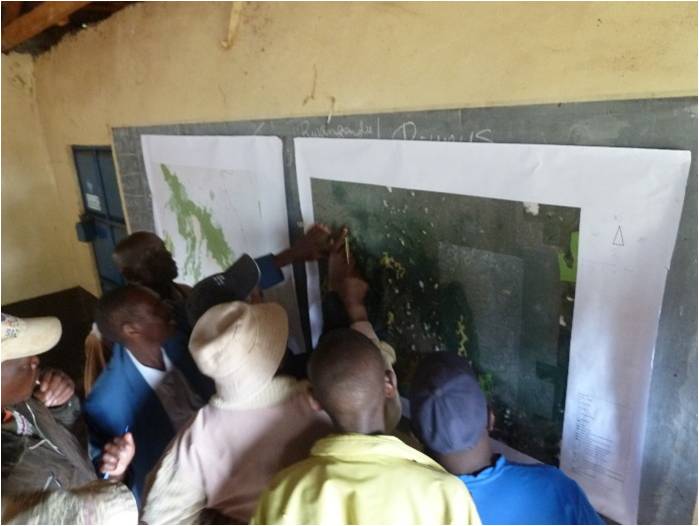
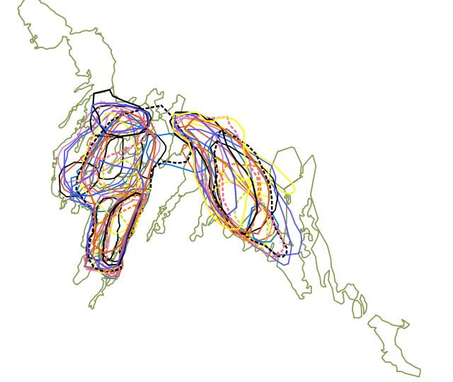
The participatory maps were aimed at the localization of both biodiversity values and provisional ecosystem services hotspots, (traditional activities of bee-keeping, hunting, herbal gathering) which, here in a quantitatively demonstrated way, overlapped with a very high degree.
Omeotherm wildlife species species richness was mapped starting from the perception of the local communities and the use of a proper research sample, and of a proper research plan, allowed me to validate the results, drawing objective and statistically validated conclusions from initially subjective answers (a talk was held at the 3rd Science for the Environment Conference Aarhus, Denmark 1-2 October 2015).
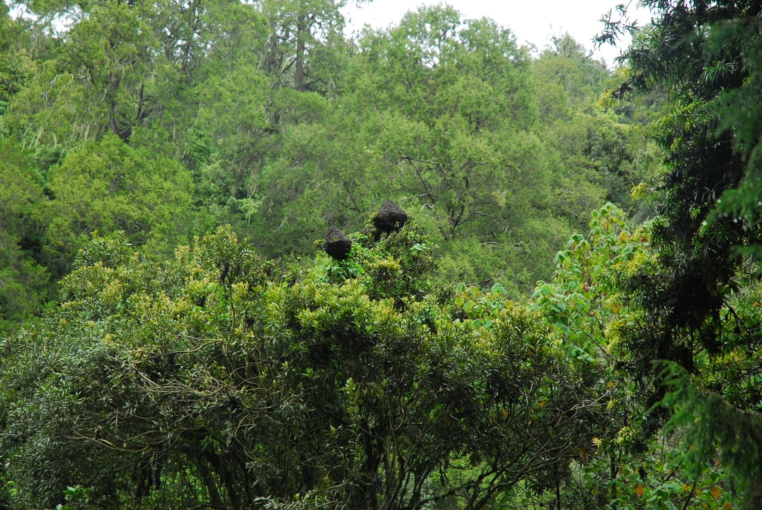
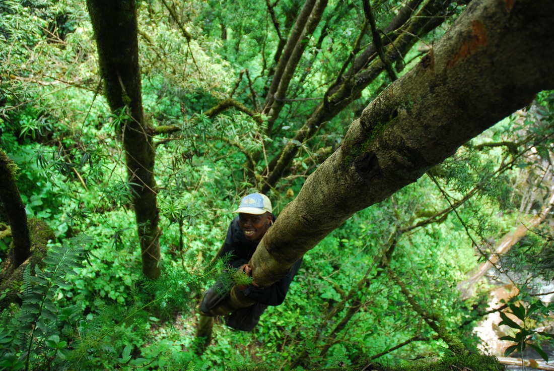
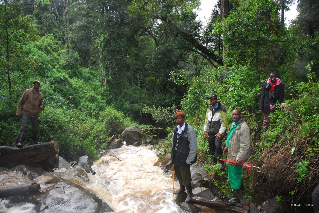
Extensive walks in the forest allowed to collect direct (sightings, photo trapping) and indirect (dung, footprints) signs, as well as the record of the most traditional forest use reported by the community leaders.
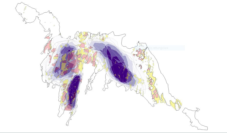
A final GIS analyses at landscape level allowed me to find an ecological interpretation. I drew an entire ecological network of the forest, showing the healthiest, as well as the most fragmented, areas, bringing a clear explicative pattern fitting with the data collected by the participatory approach and on the ground.
All of this was shared with local Authorities (Kenya wildlife Service and Kenya Forestry Service), part of a now existing participatory management plan of the forest, written together with Ogiek communities and approved by the Authorities themselves.
SEE CONFERENCE (EXPO DEI POPOLI, MILAN (2015):