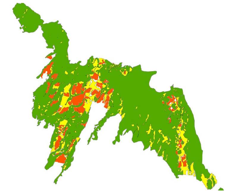
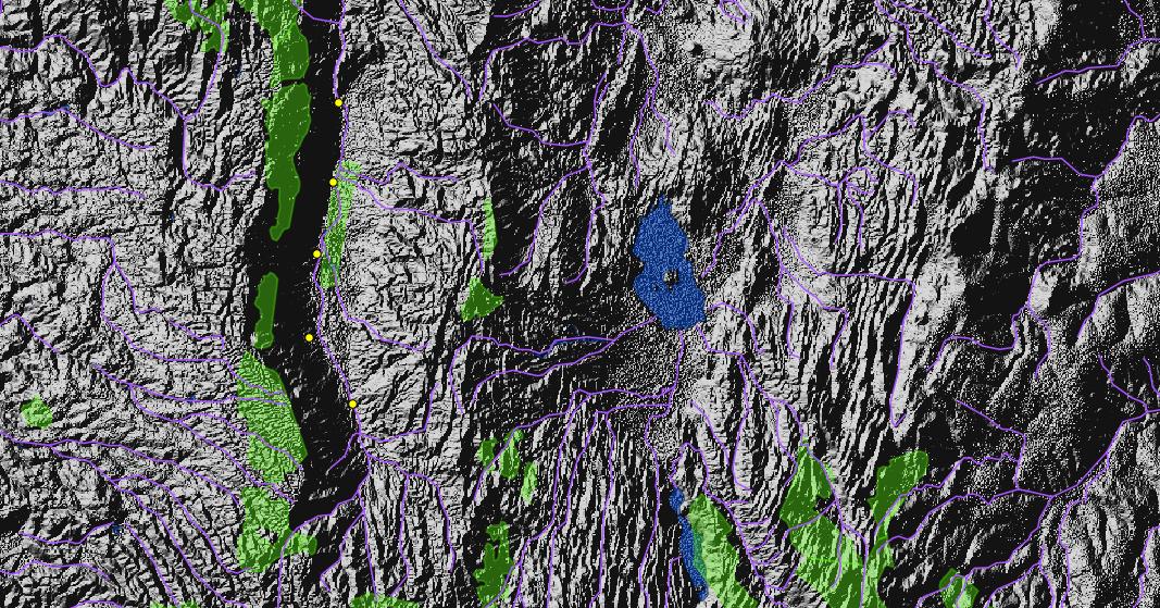
- I do GIS and cartographic analyses. I realize thematic mapping of natural resources and related threats and hotspots. I especially develop analyses on the connectivity of ecosystems, in order to provide management with the large scale vision useful to avoid the genetic isolation, thus the local extinction, of natural resources.
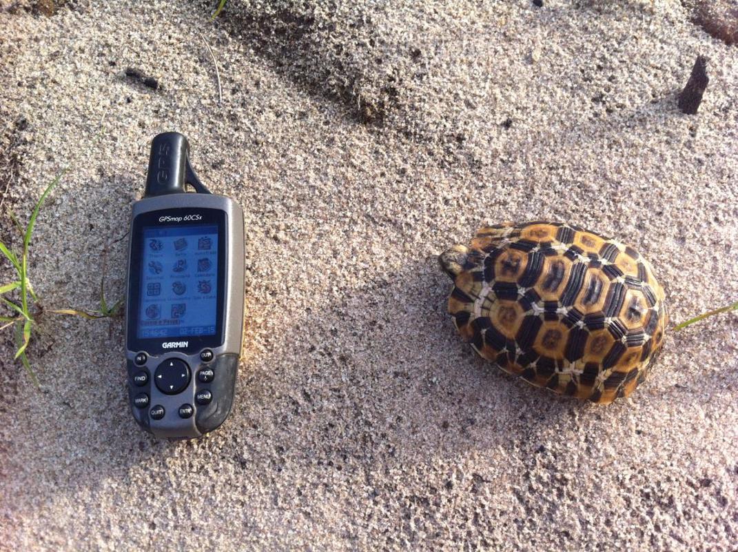
- I organize and analyze geographic databases. I organize field information in databases using a GPS/GIS interface, identifying hotspots of biodiversity or threats as a support for a decision making process.
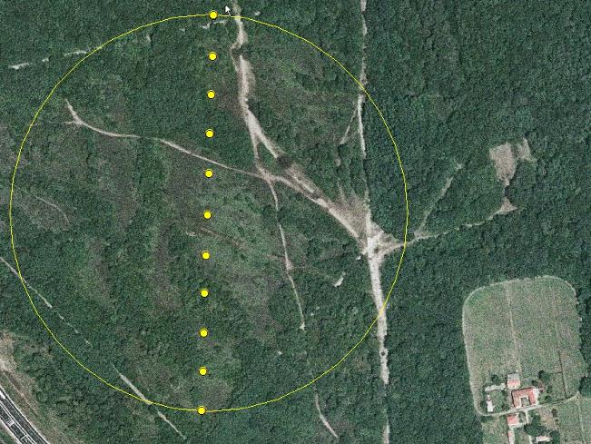
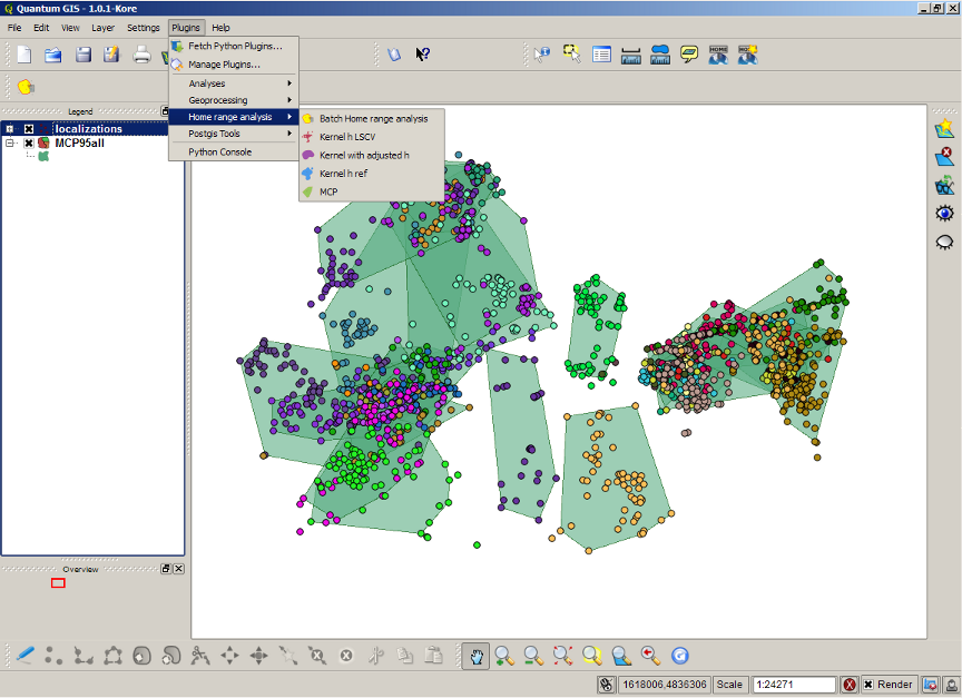
- I implement GIS wildlife monitoring and spatial ecology; I can investigate Habitat selection of species and track home-ranges of populations, as a tool for land use planning. This is relevant for many goals, from protected area planning to management of human-wildlife coflicts .
These analyses bring value both to wildlife conservation and sustainable tourism, identifying target of protection and also touristic hotspots.
- Home
- Contact
- About
- SERVICES
- CLIENTS AND DONORS
-
case Histories
- Lac Télé Community Reserve
- COMMUNITY BASED CONSERVATION WITH MAASAI AND MERU COMMUNITIES OF NORTHERN TANZANIA
- PARTICIPATORY RURAL APPRAISAL IN THE AREA OF BARINGO LAKE, KENYA
- A RAPID BIODIVERSITY ASSESSMENT IN THE KIPTUNGA FOREST, MAU COMPLEX , KENYA
- ONSHORE ENVIRONMENTAL BASELINE IN AREAS OF DEVELOPMENT AND AREAS OF A FUTURE INFLUENCE, MOZAMBIQUE.
- CAPACITY BUILDING A ND PARTICIPATORY MAPPING IN THE KOIBATEK FOREST, THE MAU COMPLEX, KENYA.
- In itinere EVALUATION OF A CHILD PROTECTION SMALL SCALE PROJECT IN THE ORPHANAGE OF MIGOLI, TANZANIA
- PARTICIPATORY RAPID APPRAISAL IN NDOINET FOREST: THE VALUE OF REMOTE SENSING