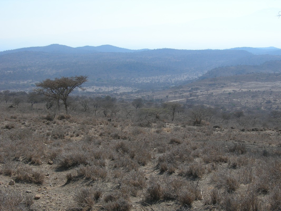
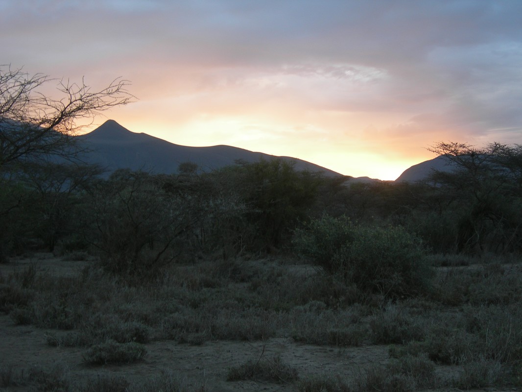
The research was done in 2005, in the village of Uwiro, located in Arumeru District, Arusha Region (northern Tanzania). The study area was large about 600 ha, it was positioned on the northern side of Mount Meru and characterized by a dry shrub-land ecosystem. Its environmental importance was relevant, as a potential wildlife corridor among the three National Parks of Arusha, Kilimanjaro and Amboseli (Kenya).
The study, done for the Italian NGO Istituto Oikos, was framed into the context of a long term project of Cooperation to Development, funded by Italian public Institutional donors and based on Community based Conservation techniques. It was aimed at creating development within a sustainable use of the local natural resources, under the legal Tanzanian context of the “Community based Wildlife Management Areas” policy.
The mainly implemented activities were:
Different kind of data about agriculture, livestock and human-wildlife conflict indicated always the western and Maasai area of the village as the wilderness area of the village, while the Meru sub-villages, whose economies were more based on agriculture, resulted being as the most anthropized ones. results were then used as tools to plan a wildlife crridor.
Considering different lines cited in literature to link conservation and development, it was proposed the way of considering local communities as managers of their own resources, suggesting protection in the eastern area of the village with future economic revenues from tourism to be distributed to the whole village.
The study, done for the Italian NGO Istituto Oikos, was framed into the context of a long term project of Cooperation to Development, funded by Italian public Institutional donors and based on Community based Conservation techniques. It was aimed at creating development within a sustainable use of the local natural resources, under the legal Tanzanian context of the “Community based Wildlife Management Areas” policy.
The mainly implemented activities were:
- A very detailed participatory land use map was realized with the communities, using a GPS on the ground and drawn by a GIS software. The information was cross-checked among many key-informants and allowed also to clarify boundaries of sub-villages, often disagreed among stakeholders.
- The main land use features linked to the economic activities (grazing areas, cattle routes, crop-fields, bush and the inhabited ares) were quantified and qualified, with a comparative approach between the Maasai and the Meru populations living in the same village.
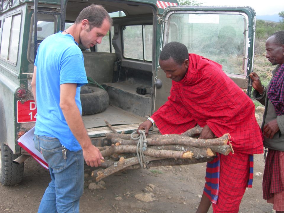
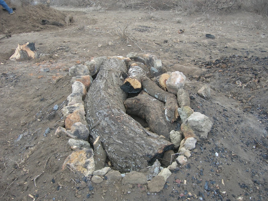
- Some information were collected by interviews to Meru and Maasai women from the village about agriculture, livestock keeping and the collection of fuel wood in the dry bush; an estimation of the total monthly pro capite (and boma/family) wood consumption was done, allowing a monthly extrapolation of values at village level.
- Some data about the level of the zoological diversity surrounding the village were finally collected in a participatory way by villagers, trained as Village Game Scouts. These data showed the existence of a good biodiversity and the future potential use of game animals as economic source of development.
Different kind of data about agriculture, livestock and human-wildlife conflict indicated always the western and Maasai area of the village as the wilderness area of the village, while the Meru sub-villages, whose economies were more based on agriculture, resulted being as the most anthropized ones. results were then used as tools to plan a wildlife crridor.
Considering different lines cited in literature to link conservation and development, it was proposed the way of considering local communities as managers of their own resources, suggesting protection in the eastern area of the village with future economic revenues from tourism to be distributed to the whole village.